
Quantity Surveying and Control Surveys for Accurate, Reliable Results
Quantity Surveying – Reliable Measurements for Better Decision-Making
Quantity surveying is at the heart of effective project management. Accurate figures give you control over materials, costs and schedules throughout the entire project. At Ostromap, we provide quantity surveying services that deliver accurate volume and measurement data for soil, rock and other materials. We combine advanced surveying methods with leading technical tools to ensure that every measurement and calculation is as accurate and reliable as possible.
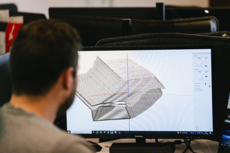
To support well-informed decision-making, we carry out quantity surveys and control surveys using 3D models that provide a clear visual representation of actual site conditions. By combining drone technology, LiDAR sensors and specialised software, we collect and process highly detailed data, providing a complete digital basis for analysis, visualisation and documentation.
We tailor our quantity surveying and control surveys to the specific requirements of your project, providing reliable results that make both planning and progress monitoring easier. Our services provide a solid basis for cost estimation, resource planning and logistics optimisation – whether your project involves construction, civil engineering or infrastructure.
Our Quantity Surveying Services
We offer a range of quantity surveying services to help you maintain full control over material volumes, costs and project progress. Our services include:
- Volume calculations: Accurate calculations of excavation, fill and material volumes for construction and civil engineering projects.
- Soil and rock quantities: Analysis of existing and planned soil and rock volumes.
- Quantity reconciliation: Monitoring and verification of quantities throughout the project.
- 3D models for quantity surveying: Creation of digital terrain models that provide a precise visual representation of material volumes and earthworks.
Reference Points and Control Points
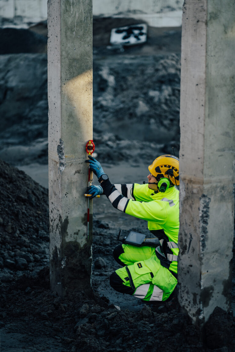
Ostromap is involved from the start of the project, helping establish reference points and control points to provide a stable and reliable surveying framework. We ensure that all points are positioned accurately and clearly documented, so they can serve as a dependable reference throughout the project.
Our services support the planning of construction and civil engineering works, precise machine guidance using accurate position and elevation data, geodetic surveying, and reliable documentation of key points across the site. Our solutions provide clear, verified data that supports informed decision-making, reduces risks and contributes to efficient project management.
Control Surveys for Accurate Progress Monitoring
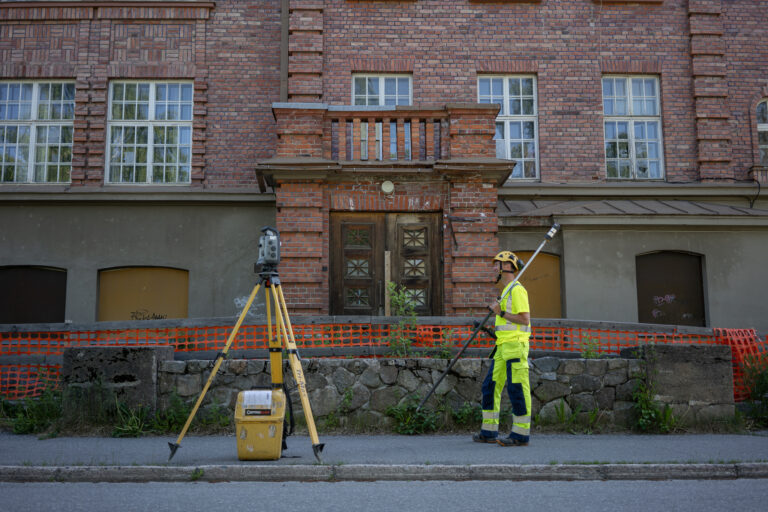
Control surveys are essential for verifying that completed work corresponds to the planned design and the quantities used for quantity surveying. Our surveys provide reliable data for quality control, cost management and project monitoring.
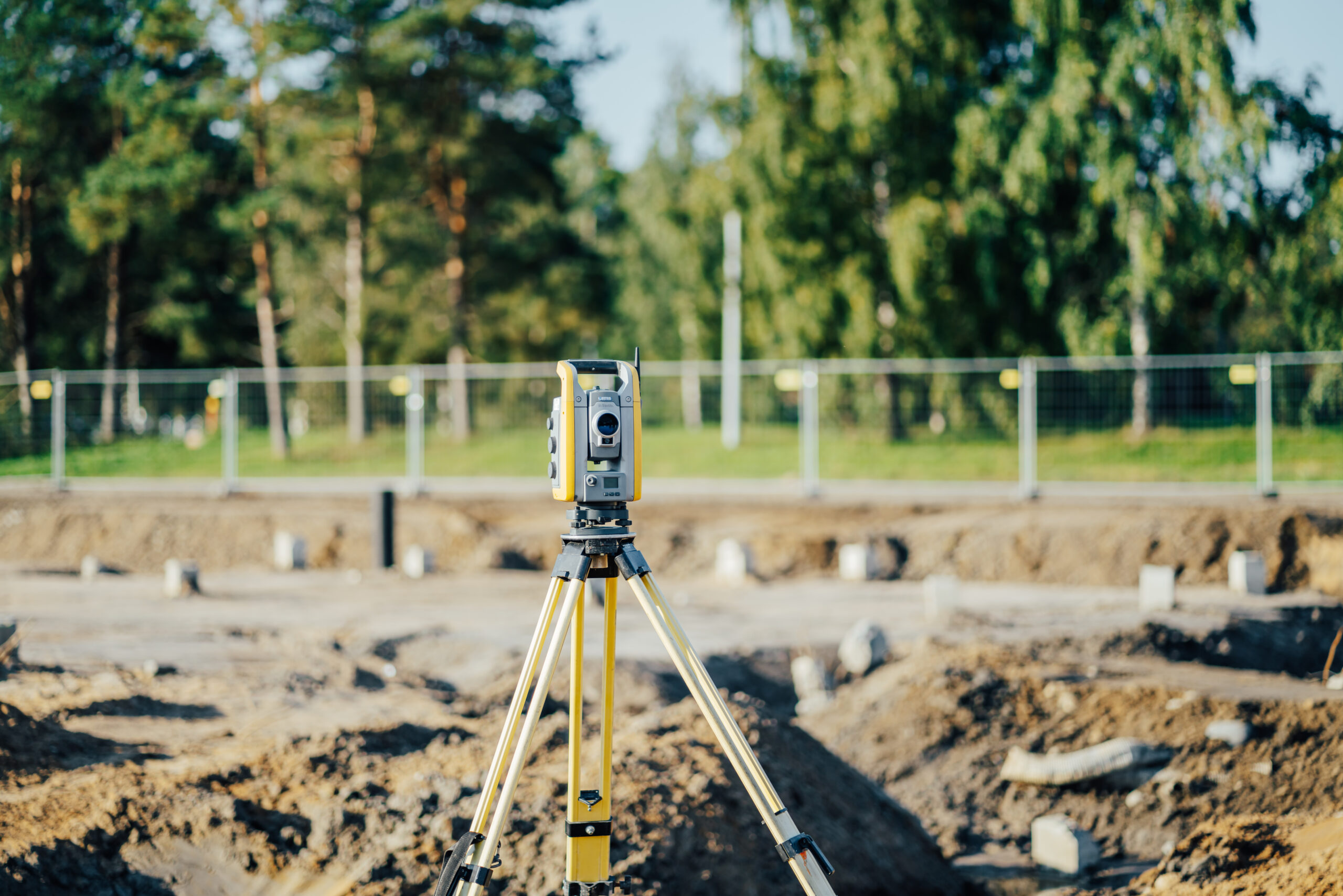
We use modern surveying equipment, including GNSS receivers, total stations and drones, to collect data and verify volumes, structural elements and critical reference points with a high degree of precision. Our control surveys are always tailored to the specific requirements of the project, providing a clear basis for analysis, planning and documentation – allowing you to monitor project progress with confidence.
Benefits of Our Quantity Surveying Services
Our quantity surveying services, including volume calculations, provide an accurate overview of material quantities and project progress. This enables better cost control, more efficient logistics and optimised use of resources throughout the project lifecycle.
Reliable Data
Our volume calculations provide precise figures that minimise the risk of inaccurate estimates and costly mistakes.
Time-Efficient Surveying
Drone technology and advanced sensors enable us to quickly collect data across large areas without disrupting ongoing work.
Clear Documentation
We provide clear reports, 3D models and quantity data that make it easy to analyse and present project information.
Better Decision-Making
Regular monitoring of material quantities and movements allows you to optimise planning and resource allocation as the project progresses.
Accurate Cost Management
Accurate quantity data ensures that financial settlements and quantity-based payments can be handled correctly and transparently.
Frequently Asked Questions About Quantity Surveying and Control Surveys
Here, we have compiled answers to the most frequently asked questions about quantity surveying, volume calculations and control surveys – including the surveying services we offer, the methods we use and how we can help you obtain accurate and reliable data for your project.
What Is Quantity Surveying?
Quantity surveying involves accurately determining the quantities and volumes of materials such as soil, rock, gravel, sand and other resources used in construction and civil engineering projects. It involves measuring and quantifying the material that needs to be excavated, moved, placed or processed to ensure that the project is carried out as planned.
Today, modern technology such as drones equipped with high-resolution cameras and LiDAR scanning is often used to create detailed digital terrain models. These models enable highly accurate volume calculations, which are essential for reliable budgeting, efficient planning and optimal resource utilisation across all types of earthworks and infrastructure projects.
What Is Quantity Surveying Used For?
Quantity surveying is used across a range of industries to accurately measure and manage material quantities:
- Construction and civil engineering: Measuring and calculating soil and fill quantities for site preparation, excavation and grading. Supporting the planning of roads, railways and dams while helping reduce material transport costs.
- Mining and quarrying: Monitoring extracted volumes, managing stockpiles and remaining reserves, and supporting environmental reporting and compliance with permit requirements.
- Waste management: Monitoring landfill volumes, planning site capacity, calculating cover material requirements and optimising available landfill capacity.
- Industry and material handling: Surveying and managing stockpiles of bulk materials such as wood chips, grain and minerals, verifying deliveries and carrying out periodic surveys for accounting and planning purposes.
What Does the Quantity Surveying Process Look Like?
Our quantity surveying process typically consists of the following steps:
Planning and Preparation:
- Define the survey area and the quantities to be measured.
- Establish reference levels and surfaces for the calculations.
- Plan the drone flight paths for optimal data collection.
Data Collection:
- Conduct drone flights over the project area.
- Capture overlapping images or perform LiDAR scanning.
- Collect ground control points using GNSS to ensure the highest possible accuracy.
Data Processing:
- Process the imagery using photogrammetric methods.
- Generate point clouds and a digital terrain model (DTM).
- Filter and quality-check the collected data.
Volume Calculations:
- Define calculation areas and reference surfaces.
- Compare the data with previous surveys or reference models.
- Calculate volumes using specialised software.
Reporting:
- Generate detailed quantity and volume reports.
- Create visualisations and 3D models.
Follow-Up:
- Review the results with the client.
- Provide recommendations for optimising material handling.
- Plan any necessary follow-up surveys.
Can We Tailor Our Quantity Surveying Services?
Yes, absolutely. We understand that quantity surveying is about more than just numbers – it is essential for cost-effective and efficient project planning throughout the entire project lifecycle. At Ostromap, we work closely with you to tailor each survey to your specific needs, site conditions and contractual requirements.
Whether your project involves road construction, railways, buildings or civil engineering, you can rely on our quantity surveying services to deliver highly accurate and reliable results. Our tailored solutions provide data that supports informed decision-making, optimises resource use and simplifies financial monitoring.
Which Surveying Technologies Do We Use for Quantity Surveying?
We use a range of technologies for quantity surveying, selecting the most suitable method based on the project’s requirements, accuracy specifications and site complexity.
Drone Photogrammetry:
- The most common method for many types of projects.
- Drones capture hundreds of overlapping, high-resolution images.
- The images are processed using photogrammetric software to create detailed 3D models.
- The combination of accuracy, efficiency and cost-effectiveness makes this method ideal for areas covering several square kilometres.
Drone-Based LiDAR:
- LiDAR scanning from a drone can penetrate certain types of vegetation.
- Provides high point density and accuracy.
- Can also be used in low-light conditions and in complex areas with vegetation or structures.
Terrestrial Laser Scanning:
- Ground-based scanning for extremely high levels of accuracy.
- Ideal for smaller areas or structures where millimetre-level precision is required.
- Can be combined with drone data to provide comprehensive documentation, including indoor volumes.
Traditional Surveying:
- Used as a complement for verification and reference surveys.
- Provides control points that help ensure a high level of absolute accuracy.
We always select the technology, or combination of technologies, that best suits your project, taking accuracy, time and budget into consideration.
What Is Verified During a Control Survey?
During a control survey, we verify that completed work and actual material quantities correspond to the planned calculations. This may include excavation quantities, fill materials, structural components or reference points used for machine guidance.
What Are Reference Points and Why Are They Used in Control Surveys?
Reference points, also known as control points, are fixed positions on the ground or on structures that are used to ensure accurate and consistent surveying. During a control survey, we use these points as a reference for comparing completed work with the planned models. By establishing and verifying reference points, we can achieve a high level of accuracy when checking volumes, elevations and structural components, providing reliable data for planning, documentation and project monitoring.
How Is a Control Survey Carried Out?
A control survey begins by identifying the areas and objects to be surveyed and establishing reference points to ensure a high level of accuracy. We then collect data using drones, laser scanners, total stations and GNSS equipment, depending on the requirements of the project. The collected data is processed into 3D models and point clouds, which we compare with planned models and previous surveys.
The result is clear, reliable documentation showing whether the completed work complies with the planned specifications, quantities and elevations. This provides confidence, accurate project monitoring and a reliable basis for cost control.
We can help with your surveying needs – get in touch with us!
Henrik Aho
+
Myynti- ja kehityspäällikkö
Daniel Ruutikainen
+
Mittauspalvelut
Oulu, Pohjois-Suomi
André Hagman
+
Mittauspalvelut
Pietarsaari, Länsi Suomi
Kim Tuorila
+
Measurement services
Vaasa, Western Finland
Fredrik Fagerholm
+
Machine control