
Control Network Surveying – The Foundation of Every Construction and Civil Engineering Project
We Establish a Reliable Control Network for All Subsequent Surveying
Control network surveying is a fundamental part of preparing for construction and infrastructure projects. By carefully establishing control points and a control network, we create a stable surveying framework that serves as the basis for all subsequent surveys and measurements throughout the project. A properly established control network ensures that everyone works from a common and reliable coordinate reference system, minimising errors and enabling both designers and contractors to make informed decisions with confidence.
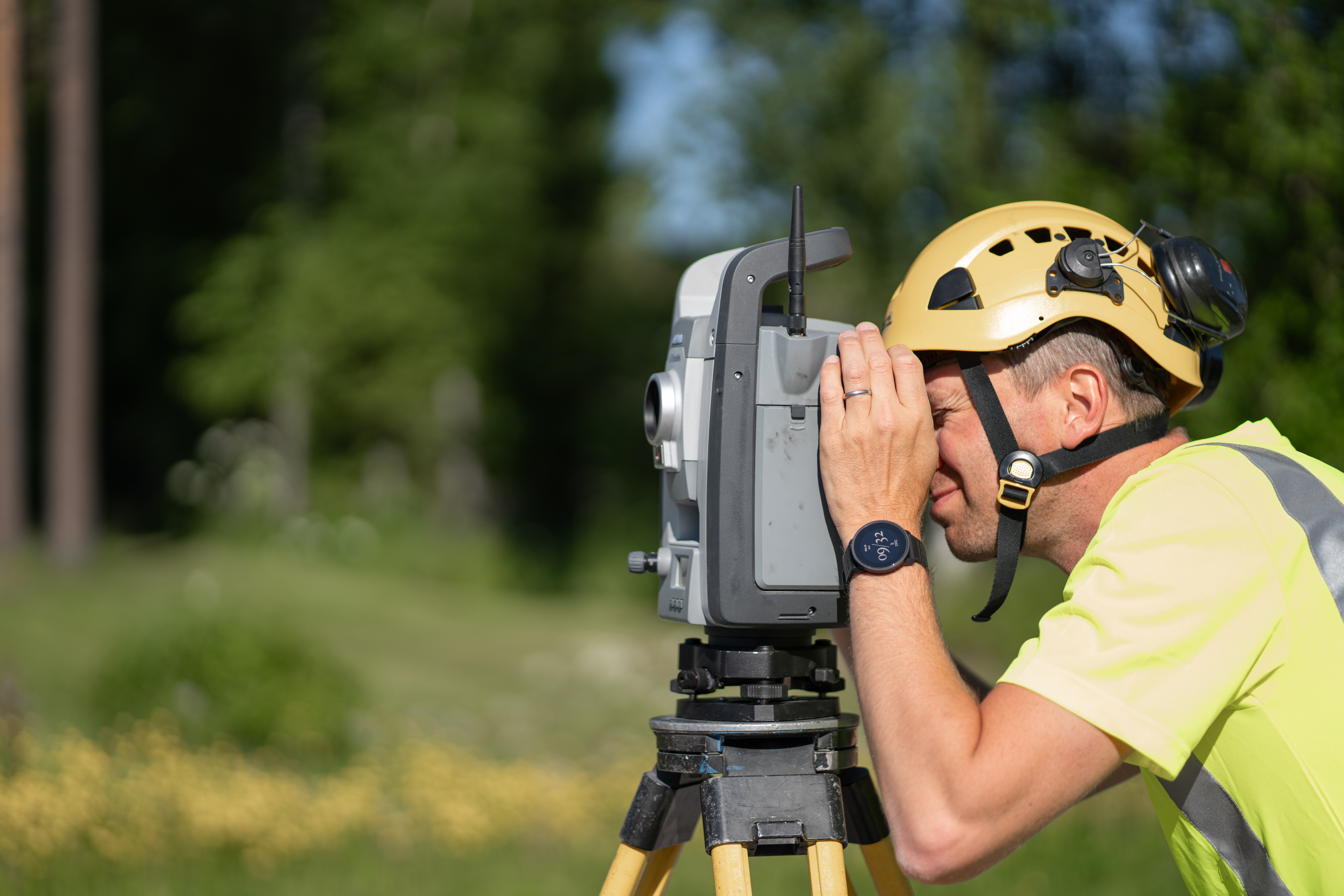
As part of our surveying services, we approach control network surveying in three structured stages: planning, fieldwork and documentation. We plan the control network according to the project requirements, establish control points on site and then ensure that all points are accurately documented. A well-established control network provides a stable reference framework for precise topographic surveys, setting-out and construction surveying throughout the project.
Our experienced surveying consultants use modern equipment to establish reliable control points and control networks that support the entire project – from initial surveys through to completion.
Our Surveying Services
At Ostromap, we offer a wide range of surveying services and have more than 20 years of experience in the industry. In addition to control network surveying, our services include:
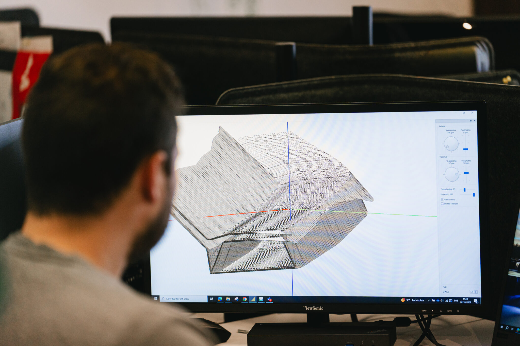
- 3D modelling and digital terrain models
- Earthworks, surface surveys and volume calculations
- Machine control models
- Construction and civil engineering surveying
- Plate load testing
- Laser scanning
- UAV and LiDAR surveying
- Control network surveying and settlement monitoring
Our experienced team uses modern equipment and technology to deliver accurate and reliable survey data, regardless of the size or complexity of the project.
Control Network Surveying
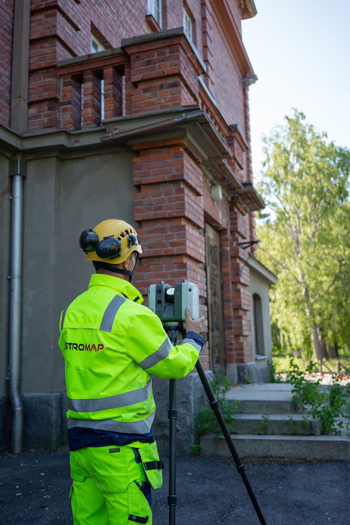
A properly established control network provides the foundation for construction and infrastructure projects. We carry out control network surveys and assist with:
- Planning: We design the control network based on the specific requirements of the project.
- Fieldwork: We establish and verify control points and build the control network.
- Documentation: We ensure that all control points and survey data are fully documented for traceability and quality assurance.
Digital Terrain Models
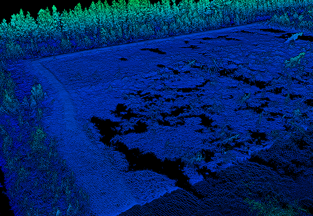
Our digital terrain models provide a clear digital representation of ground elevations, slopes and terrain features. They can be used as a basis for design, analysis, volume calculations and machine control, making it easier to visualise site conditions and plan work on the construction site. Digital terrain models are suitable for a wide range of applications, including road and railway projects, residential and industrial building projects, landscape planning, and excavation and fill volume calculations.
Contact us when you need a digital terrain model or a site survey. We would be happy to discuss how we can support your project.
Frequently Asked Questions About Control Network Surveys, Control Networks and Digital Terrain Models
Here, we have compiled answers to the most frequently asked questions about control network surveying, control networks and digital terrain models. If you cannot find the information you are looking for, please feel free to contact us.
What Is Control Network Surveying?
Control network surveying is the process of establishing a stable reference framework for a construction or infrastructure project. It includes planning, setting out and verifying control points, as well as establishing the control network that serves as the basis for all subsequent surveying. A properly established control network ensures that design surveys, setting-out and as-built surveys can be carried out with a high degree of accuracy from start to finish.
What Are Control Points?
Control points are physically marked, fixed points on the ground with precisely determined coordinates and elevations. They form the building blocks of the control network and ensure that all surveying activities throughout the project are tied to the same reference system. Properly established control points are essential for minimising errors and maintaining accuracy throughout the construction process.
What Is a Control Network?
A control network is the network of interconnected control points that forms the project’s reference framework. It ensures that all surveys, as-built measurements and setting-out work can be carried out consistently and to a high degree of accuracy.
What Surveying Services Does Ostromap Offer?
Ostromap offers a wide range of surveying services, including:
- Control network surveying
- Setting-out and position verification
- Geodetic surveying
- Digital terrain models
- Volume and earthworks calculations
- Utility and infrastructure mapping
- As-built documentation
- Plate load testing
- Laser scanning
- 3D modelling
- UAV and LiDAR surveying
- Machine control models
- Construction and civil engineering surveying
- Mapping and utility documentation
We can help with your control network surveying needs – get in touch with us!
Henrik Aho
+
Sales and development manager
Kim Tuorila
+
Measurement services
Vaasa, Western Finland
André Hagman
+
Measurement services
Pietarsaari, Western Finland
Daniel Ruutikainen
+
Measurement services
Oulu, Northern Finland